Category: Maritime industry
-

“Revitalizing Offshore Assets: The Future of FPSO Refurbishment”
FPSO Refurbishment: Extending the Life of Offshore Assets Introduction to FPSO Refurbishment Definition and Importance FPSO refurbishment is a critical initiative aimed at extending the operational lifespan of Floating Production Storage and Offloading (FPSO) units. These units play a crucial role in the offshore oil and gas industry by providing a platform for the production,…
-

“Samsung Heavy Industries and GTT Set New Standards with World’s Largest Ethane Carriers”
Revolutionizing Gas Transportation: Samsung Heavy Industries and GTT’s Ethane Carriers Introduction The collaboration between Samsung Heavy Industries and GTT marks a significant milestone in the shipping industry. These two companies have partnered to design the world’s largest ethane carriers, each with a capacity of 100,000 cubic meters. The vessels will be equipped with GTT’s Mark…
-

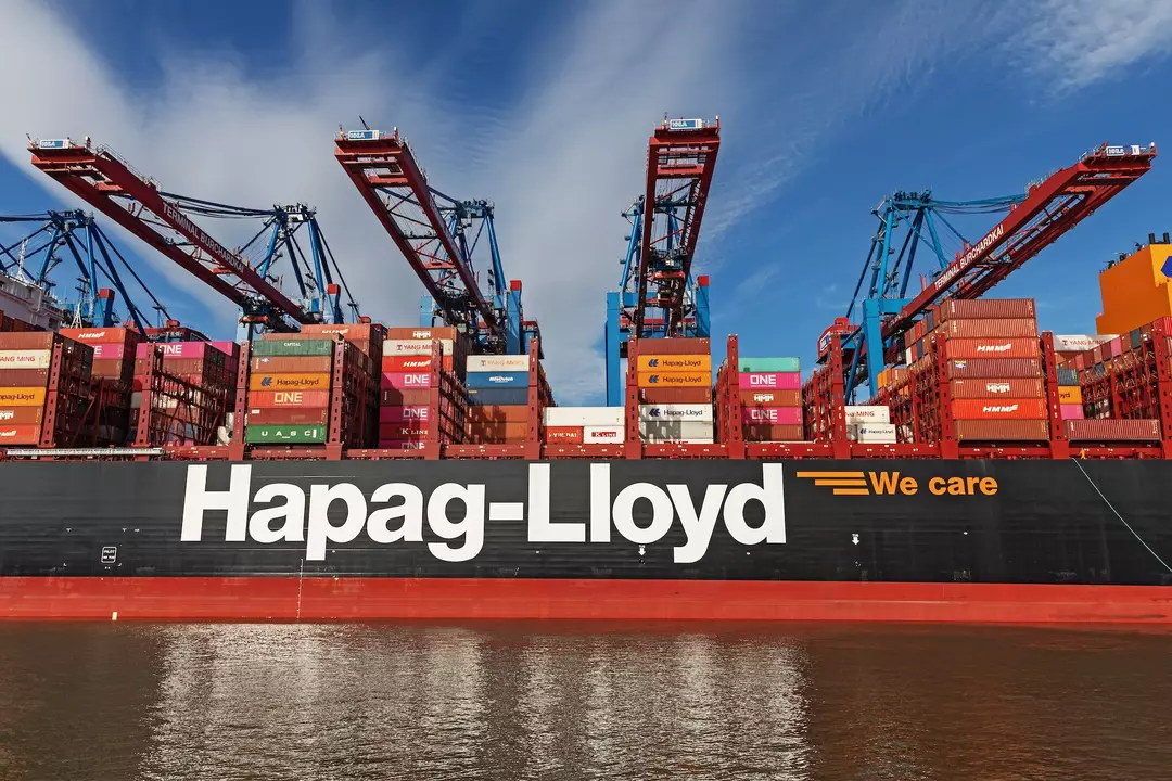
Hapag-Lloyd’s 2024 Milestones: Financial Success, Strategic Initiatives, and the Gemini Cooperation
Hapag-Lloyd’s 2024 Performance and Strategic Initiatives Hapag-Lloyd’s 2024 Financial Highlights Hapag-Lloyd’s 2024 financial highlights reflect a year of significant achievements and strategic success. The company reported a Group EBITDA of USD 5.0 billion (EUR 4.6 billion) and a Group EBIT of USD 4.8 billion (EUR 4.4 billion), marking a slight improvement over the previous year…
-

“Navigating the Future: Recent Advancements in Maritime Regulations for Safety, Sustainability, and Technology”
Recent Advancements in Maritime Regulations Maritime regulations play a pivotal role in shaping the global maritime industry, ensuring safety, environmental protection, and operational efficiency. These regulations, administered by international bodies such as the International Maritime Organization (IMO), International Maritime Dangerous Goods (IMDG), SOLAS, MARPOL, STCW, and LISPS, cover a wide spectrum of maritime activities. This…
-

CMA CGM’s $2.6 Billion Bet on LNG Dual-Fuel Containerships: A Giant Leap Towards Sustainable Shipping
CMA CGM’s Groundbreaking Order for LNG Dual-Fuel Containerships CMA CGM’s Order for LNG Dual-Fuel Containerships CMA CGM, the world’s third-largest container shipping company, has recently placed an order for a dozen liquefied natural gas (LNG) dual-fuel 18,000 TEU containerships. This significant order, valued at KRW 3.7 trillion (approximately $2.57 billion), marks a pivotal moment in…


