Introduction
The maritime industry, a critical component of global economic activities, relies heavily on accurate data for ensuring safety, efficiency, and strategic planning. Recently, the National Oceanic and Atmospheric Administration (NOAA) expanded its water level and wave datasets, marking a significant advancement in maritime technology. This expansion provides profound insights into ocean surfaces, shoreline changes, and coastal dynamics, thereby enhancing support for sectors such as coastal resource management and energy planning.
Background and Development of the Dataset
Historically, data on water levels and waves was limited to stations with traditional tide gauges, which often had patchy coverage, with gaps of thousands of miles in certain regions. However, the incorporation of a first-of-its-kind, 40-year dataset known as Coastal Ocean Reanalysis (CORa) offers a comprehensive and detailed atlas for the Atlantic, Caribbean, and Gulf coasts.
Details on the Dataset
Spatial Coverage
The dataset spans around 40 years, providing data points every 500 meters along the U.S. coast. This dense coverage significantly reduces geographical blind spots, offering a more detailed view of coastal dynamics.
Long-term Water Level and Wave Information
Equipped to track and analyze water level fluctuations and wave patterns throughout the specified timeframe, the dataset offers valuable insights into long-term oceanographic changes crucial for understanding coastal dynamics.
Innovations and Implications
Enhancing Research and Development
This dataset enables advanced research in coastal dynamics by providing a more diverse and geographically expansive dataset. Researchers can now explore intricate patterns and trends that were previously undetectable.
Machine Learning Advancements
The wealth of information can fuel machine learning algorithms, improving predictive models for future wave patterns and water level changes. This technological leap enhances the maritime industry’s ability to forecast and prepare for oceanic changes.
Policy Formulation and Coastal Management
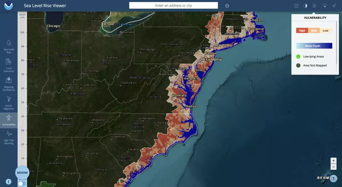
Coastal resource managers can leverage these datasets to better understand their flood risks, allowing for more effective planning and disaster response mechanisms. This data-driven approach supports sustainable development and better coastal management practices.
Case Studies and Highlighted Insights
Example Insights
In Charleston, South Carolina, the dataset has been pivotal in displaying the impact of historical events like Hurricane Hugo, illustrating its potential in historical flood risk analysis methodologies.
Broader Community Impact
Beyond individual case studies, the dataset promises a holistic view of water levels that can aid coastal communities in preparing for and mitigating potential future events. This comprehensive understanding supports better disaster response and flood risk analysis.
Conclusion and Call to Action
As data continues to be the backbone of decision-making across numerous industries, including maritime technology, the expansion of NOAA’s water level and wave dataset marks a significant milestone. This initiative, by offering detailed insights into ocean dynamics, empowers researchers, policymakers, and coastal communities to enhance their resilience and adaptability. Embrace this opportunity to advance knowledge, improve safety, and foster sustainable development in sectors dependent on understanding and managing oceanic conditions.
For further information on specific opportunities within maritime technology, including the latest developments and innovative solutions, or to explore career opportunities in the field, please visit relevant resources and platforms dedicated to maritime industry updates and career advancement. Stay informed, engage with the community, and contribute to the ongoing advancements in the maritime industry.


Leave a Reply